Post-Isaac Aerial Survey Photography Now Available From NOAA
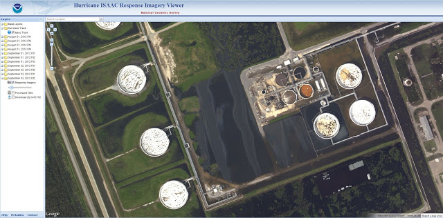
As in the aftermath of previous major storms, NOAA has flown aerial photography surveys of coastal and flooded areas, and is making the pics publicly available. They’ve embedded this very detailed imagery in an easy-to-use interactive map. You can enter a location name (city, state) and zoom in and pan around to check out your specific area of interest. Kudos to NOAA for providing this important visual information!
Here’s an example, looking at the flooded ConocoPhillips Alliance refinery along the Mississippi River south of Belle Chasse, Louisiana. Slicks are visible, although they appear to be contained onsite at the facility when the NOAA photos were taken. Jonathan Henderson at the Gulf Restoration Network blogged about this spill on Sunday:

Screen capture of NOAA post-Isaac aerial survey photography showing oil slicks at flooded ConocoPhillips refinery near Belle Chasse, LA.
Take a look at this NOAA photography, and let us know if you see anything interesting. We’re eyeball-limited here, and can always use some help skytruthing, especially when a great dataset like this is available.